Catalog excerpts

Multi-functional 3D Laser Scanner GLS-2200 High-performance scanning solution
Open the catalog to page 1
Capture reality on your terms The GLS-2200 scanners consist of three comparable yet distinct models: the GLS-2200S (short-range), GLS-2200M (medium-range), and GLS-2200L (long-range). Each model is a full-featured scanner that can be effectively deployed to capture existing, as-built conditions based on the measurement range requirements of the application. The innovative capabilities of the GLS-2200 combined with its rugged field design, provide users with a purposeful solution that will stand up to the most extreme work environments. Versatile and adaptable The GLS-2200 offers quick,...
Open the catalog to page 2
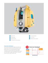
Built-in Wi-Fi On-board batteries Rotating laser Internal cameras Standard Topcon tribrach On-board one-touch scanning Precise Scan Technology II With three times faster (time-of-flight) pulse signals than previous GLS models, the GLS-2200 produces a clear signal waveform for more precise signal processing. Employing an ultra-high-speed ADC (analog-digital converter) along with a direct sampling technique, Precise Scan Technology II enables signal extraction resulting in reduced noise and high-accuracy data. Three Times Faster Start Pulse Direct Sampling Return Pulse Direct Sampling Precise...
Open the catalog to page 3
Dynamic Digital Workflows MAGNET Collage and MAGNET Collage Web Processing point cloud data A powerful, yet simple way to process and combine mass data sets in one software environment, MAGNET Collage makes it easy to manage your point cloud data. MAGNET Collage Web is a web service for sharing and collaborating with 3D point clouds. After field work is complete, MAGNET Collage supports importing, viewing, and cleaning of collected point cloud data – providing multiple tools for registering, then geo-referencing scans to survey control. Extracting objects Export to industry applications...
Open the catalog to page 4All TOPCON Positioning Systems catalogs and technical brochures
-
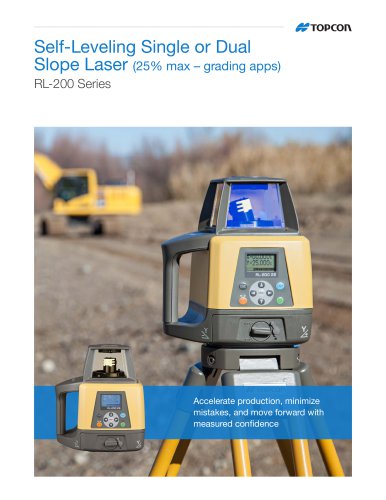
Self-Leveling Single or Dual
2 Pages
-
Utility Pipe Laser TP-L6
4 Pages


