
- Catalogs
- Oxford Technical Solutions Ltd.
- Panpro Case Study

- Company
- Products
- Catalogs
- News & Trends
- Exhibitions
Panpro Case Study

Panpro Case Study
Panpro Team identified an opportunity to enhance road safety by providing traffic authorities with data on sight distance, which is the distance a driver can see ahead or behind them. This data can help improve road safety through better signage and planning of new roads.
- Accurately georeferencing point cloud data from surveys.
- Ensuring a quick workflow to meet client deadlines.
- Building a cost-effective solution for competitive pricing.
Panpro collaborated with DTC and selected the OXTS xNAV650 GNSS/INS for georeferencing, paired with an Ouster OS2 LiDAR and the OXTS Georeferencer application. The xNAV650 offers centimetre-level accuracy and a compact form factor, with unique technology that maintains RTK accuracy even in poor signal areas. The OXTS Georeferencer tool allows for quick and precise alignment of LiDAR and GNSS/INS, reducing errors in the point cloud data.
Panpro's new business arm, powered by OXTS technology, has been successful, gaining clients in two EU countries and surveying over 200km of state road networks. There is interest from prospects in Switzerland, Slovenia, and Austria.
- Position accuracy: 0.02 m (RTK/PPK)
- Roll/pitch accuracy: 0.05°
- Heading accuracy: 0.01°
- LiDAR range accuracy: up to ±3 cm (typical)
Mišel Sabo, Director and Owner of Panpro Team, stated that OXTS technology is central to their point cloud creation and georeferencing process, offering a cost-effective solution attractive to SMEs worldwide.
Catalog excerpts

CASE STUDY Panpro Team Panpro builds a successful new road safety business based on powerful integration of LiDAR and accurate georeferencing tools from OXTS. PROJECT AIM Panpro Team had spotted a golden opportunity to improve road safety by providing traffic authorities with data about sight distance (the distance a driver can see ahead or behind them) on their road networks. Using that data, authorities could use signage to improve road safety on existing roads, and plan new roads with these distances in mind. CHALLENGES + Find a way to accurately georeference point cloud data gathered during surveys. + Ensure that the workflow was quick so that Panpro could deliver on time for clients. + Build a solution as cost-effectively as possible, so that services could be priced competitively. SUMMARY Company: Panpro Team Industry: Infrastructure Survey Country: Serbia Website: www.panpro.rs OXTS Hardware: xNAV650 GNSS/INS OXTS Software: OXTS Georeferencer Boresight Calibration Other Technology: Ouster OS2 LiDAR
Open the catalog to page 1
THE SOLUTION Working with our channel partner DTC, Panpro chose an OXTS xNAV650 GNSS/ INS for its georeferencing solution, coupled with an Ouster OS2 LiDAR, and the OXTS Georeferencer application. Panpro was impressed with the xNAV650’s combination of centimetre-level accuracy and small form factor (130g weigh, and 77 x 63 x 24mm in size). Unique gx/ix tight-coupling technology in the xNAV650 preserves RTK accuracy in areas where signal is poor, and speeds up RTK reacquisition after a loss of signal – for instance, after going through a tunnel. OXTS Georeferencer was particularly instrumental...
Open the catalog to page 2All Oxford Technical Solutions Ltd. catalogs and technical brochures
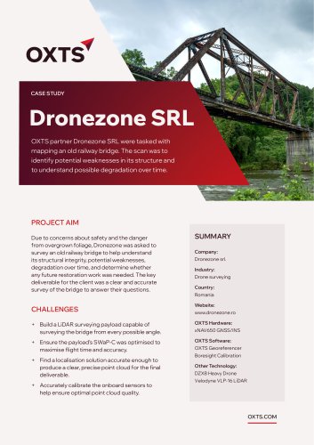 Dronezone SRL Case Study
2 Pages
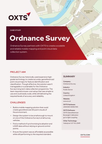 Ordnance Survey Case Study
2 Pages
 xRED GNSS/INS
2 Pages
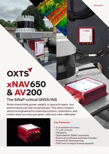 xNAV650 / AV200 GNSS/INS
2 Pages
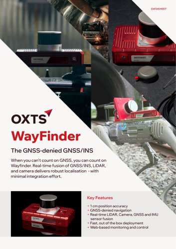 WayFinder Navigation System
2 Pages
 RT3000 v4 DO-160 GNSS/INS
2 Pages
 RT1003 v2 GNSS/INS Datasheet
2 Pages
 RT3000 v4 GNSS/INS Datasheet
2 Pages

- OXTS inertial navigation system
- OXTS GNSS inertial navigation system
- High-accuracy inertial navigation system
- Lightweight inertial navigation system
- Miniature inertial navigation system
- UAV inertial navigation system
- Inertial navigation system with integrated GPS
- ITAR-free inertial navigation system
- CAN inertial navigation system
- OEM inertial navigation system
- Ethernet inertial navigation system
- Built-in inertial navigation system
- Serial inertial navigation system
- TTL inertial navigation system