

LS1 SLAM Scanner - Tehnical Sheet
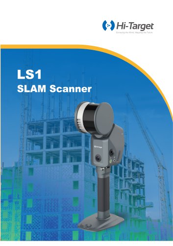
LS1 SLAM Scanner - Tehnical Sheet
The LS1 SLAM Scanner is a sophisticated tool designed for effective scanning with real-time accuracy. It adapts to diverse scanning environments, eliminating the need for manual mode selection. The scanner provides real-time feedback on data quality, allowing users to monitor scan precision and identify areas requiring further attention, ensuring accurate and reliable results for any project.
The LS1 is designed for simple and quick scanning, allowing anyone to operate it with ease. It features real-time scene monitoring, ensuring accurate tracking of changes. The device is capable of handling large-scale environments efficiently. With advanced data fusion from control points and RTK, along with automatic target recognition, the LS1 guarantees high-quality results for any project.
The LS1 supports multiple platform operations, enabling seamless transitions between handheld, backpack, vehicle-mounted, and airborne operations for diverse surveying needs.
Powered by industry-leading SLAM algorithms, the LS1 combines LiDAR, vision sensors, and integrated RTK capabilities to achieve real-time centimeter-level precision. It features full-scale, real-time color point cloud output and an instant accuracy display, providing professionals with intuitive and highly accurate data insights. Designed for seamless operation in diverse environments, the LS1 automatically adapts to both indoor and outdoor settings without the need for manual configuration, ensuring efficiency and reliability in any application.
The LS1 is compatible with a global coordinate system, supporting seamless transitions and direct CORS connection, enabling RTK-SLAM for real-time high-precision georeferenced point clouds. Additionally, the LS1 supports PPK-SLAM processing through its software, empowering users to tackle even the most complex and challenging environments with ease.
The Hi-LiDAR Processing Software offers a one-click process with automatic data filtering, georeferencing, and colorization, helping users easily achieve the best results. Compatible with a global coordinate system, GeoID, and re-projecting to get georeferenced and clean data, the software ensures high accuracy and reliability with post-processing solutions, ensuring precise dynamic positioning for projects even in areas without network coverage or signal obstruction.
Hi-Target Surveying Instrument Co. Ltd provides the LS1 with a comprehensive set of specifications, including real-time colorization accuracy, heatmap, and BDS capabilities. The device supports a wide range of measurement parameters, ensuring high accuracy and reliability in various surveying scenarios.
Catalog excerpts

Surveying the World, Mapping the Future SLAM Scanner
Open the catalog to page 1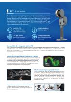
Powered by industry-leading SLAM algorithms, the LSI combines LiDAR, vision sensors, and integrated RTK capabilities to achieve real-time centimeter-level precision. It features full-scale, real-time color point cloud output and an instant accuracy display, providing professionals with intuitive and highly accurate data insights. Designed for seamless operation in diverse environments, the LSI automatically adapts to both indoor and outdoor settings without the need for manual configuration, ensuring efficiency and reliability in any application. lcm RelativeAccuracy <5cm Absolute Accuracy Real-Time...
Open the catalog to page 2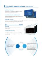
SLAM Wizard Processing One click process with automatic data filtering, georeferencingand colorization, helpyou easilytogetthe best result. Compatiblewith global coordinatesystem, Geoid, re-projectingtoget georeferenced and clean data. Boost data accuracy and reliability with Post-Processing Kinematic (PPK) solutions, ensuring precise dynamic positioningforyour projects even in areaswithout network coverage orsignal obstruction. AEC (Architecture, Engineeringand Construction) Module Effortless point cloud slicing and unfolding for seamless CAD geometry assistance. Extracting precise horizontal...
Open the catalog to page 3
Highway Survey Power Line Survey Imaging Parameters Laser Scanning Parameters Point Frequency Measurement Range Field ofView MeasurementAccuracy RelativeAccuracy General Parameters Image Resolution Camera Field ofView Mapping Modes Real-time Processing Real-time Solution Real-time Coloring Accuracy Heatmap Battery Endurance Battery Capacity Storage Capacity Protection Rating Operating Temperature Storage Temperature <1.85 kg (exclude batteryand GCP benchmark) Supported Satellite Systems AUTHORIZED DISTRIBUTION PARTNER Hi-Target Surveying Instrument Co. Ltd ADD: Hi-Target Headquarters, No. 6,...
Open the catalog to page 4All Novatest catalogs and technical brochures
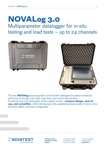 NOVALog 3.0 - Tehnical Sheet
4 Pages
 Woodtester - Technical Sheet
2 Pages
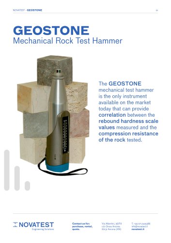 Geostone - Technical Sheet
3 Pages
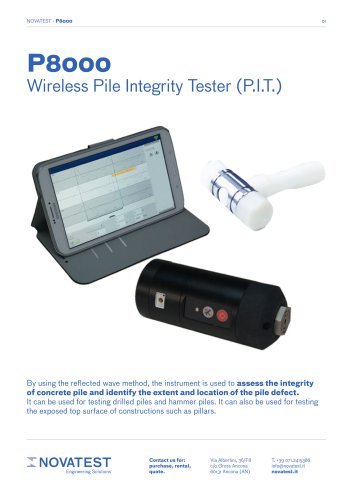 P8000 - Technical Sheet
2 Pages
 Flat Jacks - Technical Sheet
2 Pages
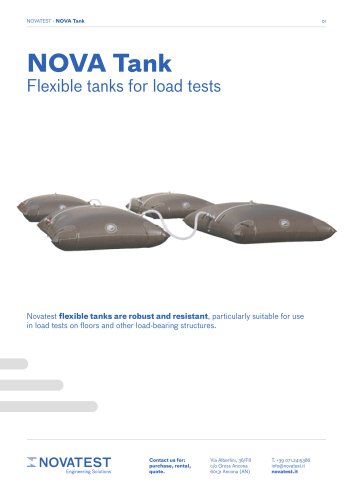 NOVATank
3 Pages
 U.S.A. E74 - Technical Sheet
2 Pages
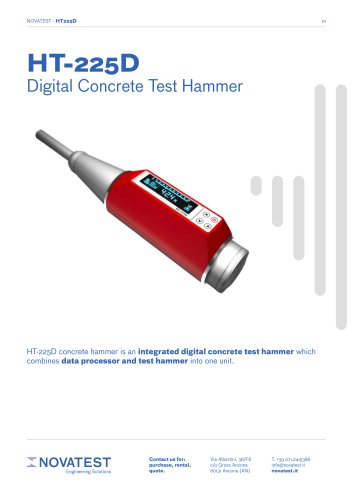 HT-225D - Technical Sheet
2 Pages
 CONCRETO N - Technical Sheet
3 Pages
 UT-1M - Technical Sheet
7 Pages
 Load Cells - Technical Sheet
2 Pages
 NVT-500 - Technical Sheet
2 Pages
 NOVA TB15 - Technical Sheet
3 Pages
 NV-T24 DET - Technical Sheet
3 Pages
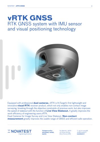 vRTK GNSS - Technical Sheet
6 Pages
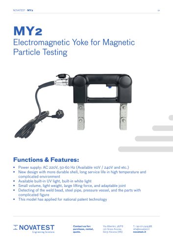 MY2 - Technical Sheet
2 Pages
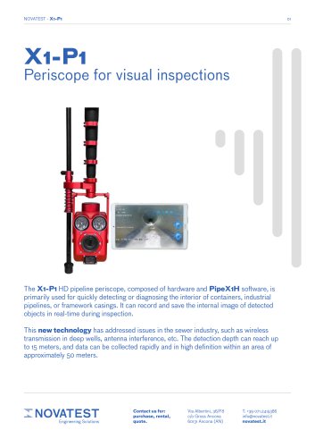 X1-P1 - Technical Sheet
4 Pages
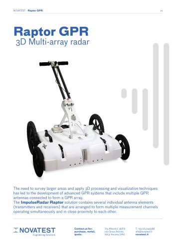 GPR Raptor - Technical Sheet
7 Pages
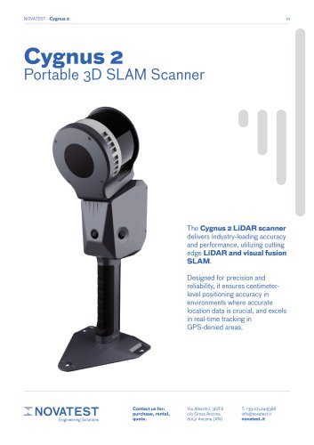 CYGNUS 2 - Technical Sheet
4 Pages
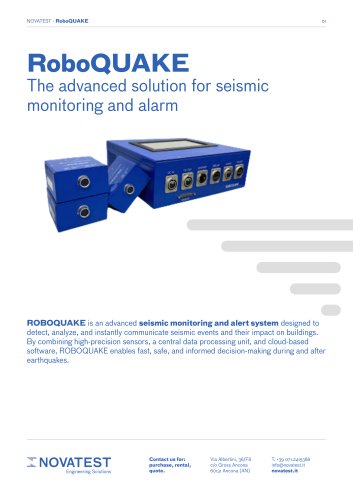 RoboQUAKE - Technical Sheet
3 Pages
 Kit POT - Technical Sheet
5 Pages
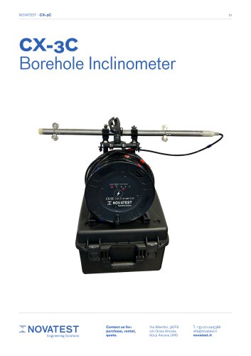 CX-3C - Technical Sheet
4 Pages
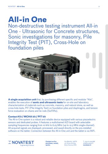 ALL-IN-ONE - Technical Sheet
6 Pages
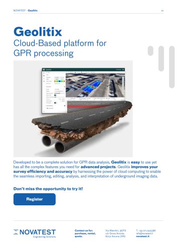 GEOLITIX - Technical Sheet
7 Pages
 uBlox - Technical Sheet
3 Pages
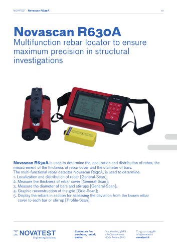 Novascan R630A - Technical Sheet
11 Pages
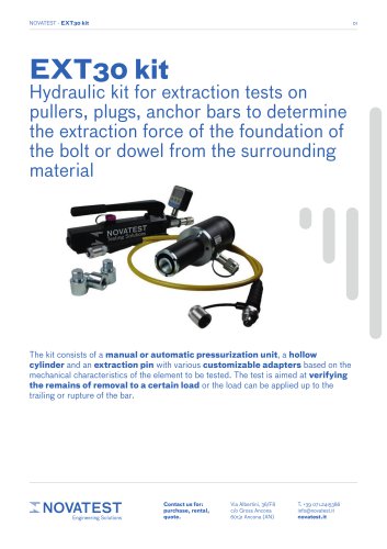 EXT30 kit - Technical Sheet
2 Pages
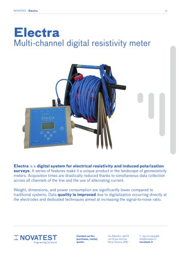 Electra - Technical Sheet
5 Pages
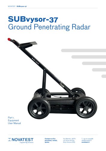 SUBvysor-37 GPR User Manual
29 Pages
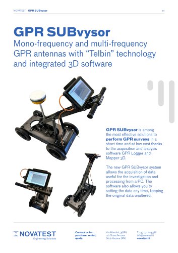 GPR SUBvysor - Technical Sheet
12 Pages
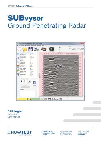 GPR Logger - User Manual
94 Pages
 Mapper 3D - User Manual
43 Pages
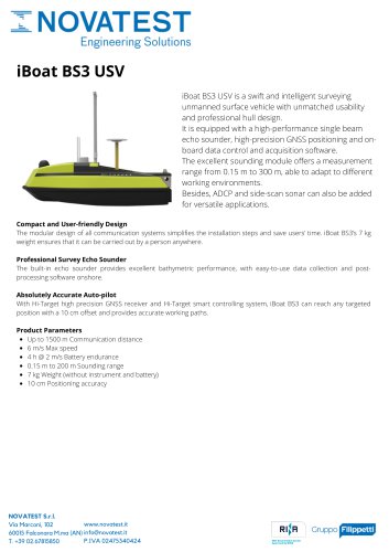 iBoat BS3 USV
1 Page
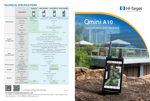 Qmini A10
2 Pages
 HT-32-Automatic Level
1 Page
 Qbox-20
2 Pages
 А2072 IntroScan
2 Pages
 iRTK5 GNSS RTK SYSTEM
2 Pages







Archived catalogs
 Products Overview NDT
16 Pages
 MICRODRONES
181 Pages
 IHand30
2 Pages
 iBoat BS3 USV
2 Pages
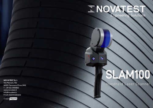 SLAM100
2 Pages
- Vessel
- Test machine
- Digital imager
- Force sensor
- Industrial camera module
- Data logger
- Analysis software solution
- Infrared imager
- Measuring machine
- Tension/compression force transducer
- Monitoring camera system
- Steel load cell
- Cloud-based software
- Calibration system
- Indentation hardness tester
- Level probe
- USB camera module
- Liquid level sensor
- Detection camera system
- Stainless steel force transducer