

- Company
- Products
- Catalogs
- News & Trends
- Exhibitions
GMS
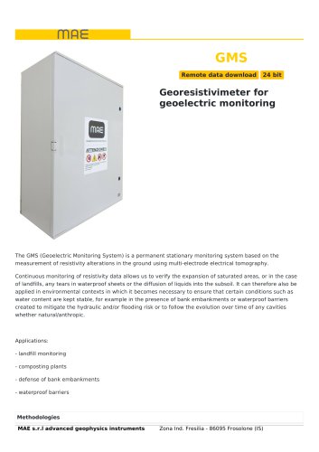
GMS
- Landfill monitoring
- Composting plants
- Defense of bank embankments
- Waterproof barriers
- Induced Polarization measurement
- Multi-electrode geoelectrical prospecting
- ADC Technology: 24-bit Delta-Sigma ADC
- Dimensions: 52x65x25 cm
- Export Compatibility: RESinv, ERTlab, ZondRES, MAE
- Case: IP66
- Environmental Conditions: -20°C to 90°C
- Power Output: 600W
- Voltage Output: ±50V, ±100V, ±200V, ±400V, ±800V
- Output Current: Up to 12A at 50V, up to 0.750A at 800V
- Energization Diagram: Custom from 250ms
- Precision: ±0.2 μA
- Accuracy: < 0.2%
- Measurements Strategy: Parallel
- Input Voltage: ±25V
- Precision: 1.5 μV vs full scale
- Accuracy: < 0.2%
- Input Impedance: 2.5MΩ
- Stacking and Noise Reduction: Up to 255
- Input Notch Filter: 50Hz
- Self Potential Adjustment: Automatic
Catalog excerpts
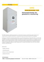
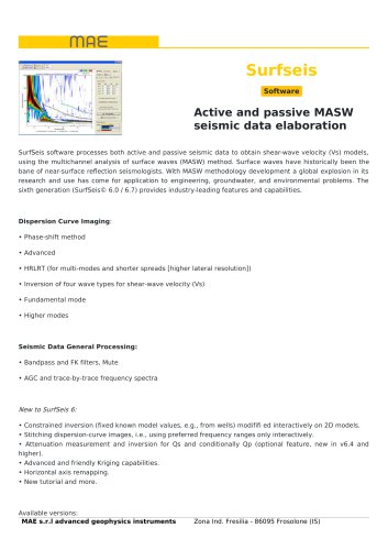
Remote data download The GMS (Geoelectric Monitoring System) is a permanent stationary monitoring system based on the measurement of resistivity alterations in the ground using multi-electrode electrical tomography. Continuous monitoring of resistivity data allows us to verify the expansion of saturated areas, or in the case of landfills, any tears in waterproof sheets or the diffusion of liquids into the subsoil. It can therefore also be applied in environmental contexts in which it becomes necessary to ensure that certain conditions such as water content are kept stable, for example in the presence of bank embankments or waterproof barriers created to mitigate the hydraulic and/or flooding risk or to follow the evolution over time of any cavities whether natural/anthropic. - landfill monitoring - composting plants - defense of bank embankments - waterproof barriers MAE s.r.l advanced geophysics instruments Zona Ind. Fresilia - 86095 Frosolone (IS)
Open the catalog to page 1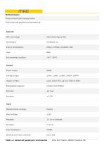
MAE s.r.l advanced geophysics instruments Zona Ind. Fresilia - 86095 Frosolone (IS)
Open the catalog to page 2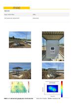
General Input notch filter Self potential adjustment MAE s.r.l advanced geophysics instruments Zona Ind. Fresilia - 86095 Frosolone (IS)
Open the catalog to page 3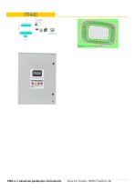
MAE s.r.l advanced geophysics instruments Zona Ind. Fresilia - 86095 Frosolone (IS)
Open the catalog to page 4All M.A.E. S.r.l. catalogs and technical brochures


Archived catalogs
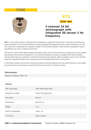
 ST3
2 Pages
 ST24
3 Pages
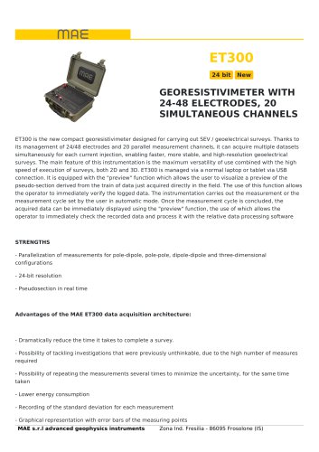
 ET300
3 Pages
 X824S
3 Pages
 MAE BROCHURE 2025
32 Pages
 ISBC10
4 Pages
 Business
24 Pages
 PB1291
1 Page
 KITX612EM7203
2 Pages
 KITX820S96MW
2 Pages
- Power supply unit
- DC power supply
- Temperature probe
- AC/DC power supply
- Electrical cable
- Measuring device
- Angular encoder
- Management software solution
- Automation software solution
- Data logger
- Analysis software solution
- Power cable
- Process software
- Drilling tool
- Windows software
- Acceleration sensor
- Control software
- Solid drill bit
- Temperature datalogger
- Touch screen tablet