
- Catalogs
- ComNav Technology Ltd.
- LS500 Laser Scanner (End of Life)


- Company
- Products
- Catalogs
- News & Trends
- Exhibitions
LS500 Laser Scanner (End of Life)
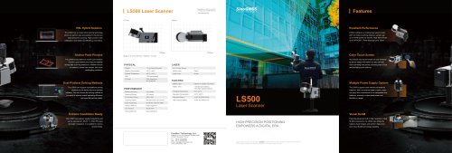
LS500 Laser Scanner (End of Life)
The LS500 Laser Scanner by ComNav Technology Ltd. is a high-precision positioning device designed for diverse applications such as urban development, agriculture, and surveying. It utilizes SLAM technology for real-time positioning and mapping, making it suitable for both indoor and outdoor environments.
Physical Specifications
The device weighs 1.7 kg and operates in temperatures ranging from -35°C to +60°C. It features a 1TB SSD, is IP54 rated for dust and water resistance, and offers a scanning range of 120 meters with a 360°x 285° field of view.
Performance Features
The LS500 boasts a scanning speed of 640,000 points per second and a relative accuracy of 1cm. It includes a hybrid solution method for efficient data processing and supports dual-platform solving methods.
Laser and Electric Specifications
The scanner uses a single Class I laser sensor with 32 lines. It is powered by a lithium-ion battery, offering 1.5 hours of operation with a standard battery and 2.5 hours with a high-capacity battery.
Key Features
- Hybrid Solution Technology: Enhances data processing speed and efficiency.
- Anchor Point Process: Ensures accuracy and stability in data scanning.
- Extreme Conditions Ready: Operates effectively in harsh weather conditions.
- Visual SLAM: Captures high-resolution images for precise mapping.
Application Software
The LS MASTER mobile application allows users to control the scanner, preview data in real-time, and perform local data solving. The MAPPING MASTER desktop software supports batch processing, panoramic video synthesis, and high-precision point cloud generation.
Conclusion
The LS500 Laser Scanner is a versatile tool for digital mapping and surveying, offering advanced features and robust performance across various platforms and environments.
Catalog excerpts
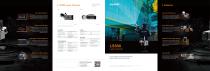
GNSS Surveying System Ver.2024.04.03 Excellent Performance The LS500 has a unique hybrid solving technology LS500 configures a rotating laser sensor probe which can perform post processing for the previous with 120 meters working distance; sample rate up to 0.64M points per second; large field of scan data during the scanning. High precision data collected is more faster and efficiency ever before. Anchor Point Process Color Touch Screen The LS500 incorporates an anchor point solution The vibrant color touch screen not only showcas- function, guaranteeing accuracy and stability during data scanning endeavors, whether indoors or outdoors, across vast ranges, and under challenging conditions. es device status information but also provides methods on the device host and desktop software. You can choose the solving method as you want to improve overall operating efficiency and meet the various needs. clear operating instructions, ensuring ease of use Working Temperature Safety Level Storage Temperature Laser Lines Dual-Platform Solving Methods The LS500 can support dual-platform solving and facilitating quick start-up. ELECTRIC Battery Type Lithium ion battery (hot swap) Battery Time 1.5h (standard battery) 2.5h (high-capacity battery) Relative Accuracy Charging Temperature Scanning Range Operating Temperature Standard Battery Scanning Speed High-capacity Battery Scan Positioning Solution Method Hybrid algorithm Live Preview Solving Methods Multiple Power Supply Options The LS500 supports both internal and external batteries. With our external battery option, users can enjoy the convenience of hot-swappable dual batteries, ensuring uninterrupted power and flexibility in usage. Laser Scanner Extreme Conditions Ready Visual SLAM The LS500 has superior weather resistance and Featuring advanced built-in high-resolution visual HIGH PRECISION POSITIONING EMPOWERS A DIGITAL ERA can be operated at -35-60 ° C. With IP54 dust and water resistance, it is suitable for various environments. Building 2, No. 618 Chengliu Middle Road, 201801 Shanghai, China Tel : +86 21 64056796 Fax: +86 21 54309582 Email: [email protected] www.comnavtech.com 2024, ComNav Technology Ltd. All rights reserved. is the official trade mark of ComNav Technology Ltd., registered in People’s Republic of China, EU, USA and Canada. All other trademarks are the property of their respective owners. (April, 2024). SLAM components, the LS500 can efficiently capture visual images, and perform high-precision visu
Open the catalog to page 1
The LS500 Laser Scanning System uses SLAM technology (simultaneous localization and mapping), which is real-time positioning and mapping technology. Unlike traditional GNSS-dependent systems, it autonomously conducts self-positioning and incremental 3D mapping even in uncharted territories, be it indoors or outdoors. Its sleek and lightweight design ensures effortless maneuverability, simplifying measurement tasks. With synchronized data acquisition, the mere act of walking facilitates information data collection. This versatile system finds extensive applications across diverse fields including...
Open the catalog to page 2All ComNav Technology Ltd. catalogs and technical brochures
 A100 Series Smart Antenna
2 Pages
 N2 Palm GNSS Receiver
2 Pages
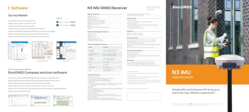 N3 IMU GNSS Receiver
2 Pages
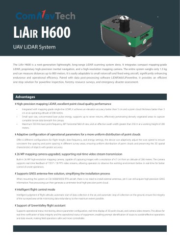 EN-LiAir H600
2 Pages
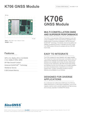 K706 GNSS Module
2 Pages
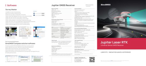 SinoGNSS Jupiter Laser RTK
2 Pages
 K823 GNSS Module
2 Pages
 AT410 GNSS Antenna
2 Pages
 M900 GNSS Receiver
2 Pages
 U70 Datalink Module
1 Page
 Sinognss P6H Hanheld
2 Pages
 M100X GNSS Receiver
2 Pages

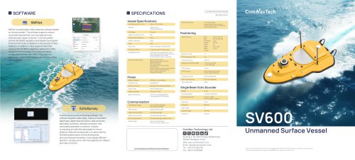
Archived catalogs
 AT500 Chock Ring Antenna
1 Page
 R200 Data Collector
2 Pages
 K700 GNSS Board
2 Pages
 K803 GNSS Module
2 Pages
 K705 GNSS OEM Board
2 Pages
 K708 GNSS OEM Board
2 Pages
 K706 GNSS OEM Board
2 Pages
 AT160 Helix Antenna
1 Page
 K726 GNSS OEM Board
2 Pages
 U50 Data Link Module
1 Page
 T300 Plus GNSS Receiver
2 Pages
 T300 GNSS Receiver_K8
2 Pages
 TS-C100 Total Station
2 Pages
 TS-C200 Total Station
2 Pages
 A100 Series Smart Antenna
2 Pages
 T20 Palm GNSS Receiver
2 Pages
 T30 IMU GNSS Receiver
2 Pages
 Z30 Portable GNSS Receiver
2 Pages
 LS300 Laser Scanning
2 Pages
 Venus Laser RTK
2 Pages
 Mars Laser RTK
2 Pages
 Mars Pro Laser RTK
2 Pages
 N2 GNSS Palm Receiver
2 Pages
 R60 Data Collector
2 Pages
 P8 Tablet
2 Pages
 AT360 Geodetic Antenna
1 Page
 N3 IMU GNSS Receiver
2 Pages
 M300 Pro 2023 GNSS Receiver
2 Pages
 AT600 Chock Ring Antenna
1 Page
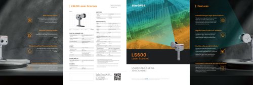 LS600 Laser Scanner
2 Pages
 AT190 Helix Antenna
1 Page
 AT340 Geodetic Antenna
1 Page
 R550 Data Collector
2 Pages
 R500 Data Collector
2 Pages
 G100 GNSS Receiver
2 Pages
 G200 GNSS Receiver
2 Pages
 M300 Plus GNSS Receiver
2 Pages
 T30 GNSS Receiver
2 Pages
 M300 Pro II GNSS Receiver
2 Pages
 T30 Surveying Solution
4 Pages
 T30 IMU Surveying Solution
4 Pages
 T300 Plus for UAV Solution
4 Pages
 CDL5 External Data Link
2 Pages
 M10 Mini GNSS Receiver
2 Pages
 T300 Plus GNSS Receiver
2 Pages
 P300 Series
2 Pages
 N5 IMU GNSS Receiver
2 Pages

- Management software solution
- Real-time software
- Windows software
- Computer-aided design software
- Cloud-based software
- Touch screen tablet
- Wireless tablet
- Design software solution
- Monitoring software solution
- Rugged tablet
- Interface software
- Bluetooth tablet
- WiFi tablet
- GNSS tablet
- Touch screen HMI
- Automated software
- Industrial tablet
- Windows tablet
- Network software
- GPS tablet