
- Catalogs
- BOVIAR SRL
- RIS Hi-Pave

RIS Hi-Pave

RIS Hi-Pave
- High-speed data acquisition with the ability to integrate up to 8 GPR antennas.
- Non-contact air-launched horn antennas for efficient surface scanning.
- Modular configuration allowing for expanded survey paths and enhanced data accuracy.
- Capability to measure pavement thickness and assess various road layers.
- Periodic monitoring of road and runway conditions.
- High-speed operation with a maximum acquisition speed of 260 kph (150 mph) using one antenna.
- Power consumption of 13.3 W per antenna.
- Environmental protection rated at IP65.
- Supports up to 8 antennas for broader survey coverage.
- Dual frequency antennas (400/900 MHz) available, though not FCC or IC approved for use in the USA or Canada.
- Compatible with Panasonic CF-19 Tough-Book for data processing.
- Includes GRED HD BASIC and GRED HD 3 for advanced data analysis.
- Features tomographic map view (C-Scan) and radar scan fusion capabilities.
- GPS and map track viewer for precise positioning and tracking.
- Scan rate per channel: 724 scans/sec with 512 samples/scan.
- Scan interval: 10 scans/m.
- Antenna footprint: 51 x 22 cm.
- Antenna center frequencies: 1 GHz or 2 GHz with horizontal polarization.
Catalog excerpts
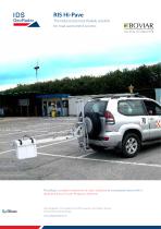
RIS Hi-Pave for road assessment surveys O FFICI A L D IS TRIBUTOR at unsurpassed speed with a
Open the catalog to page 1
RIS Hi-Pave designed for high speed road and/or runway assessment surveys. The system is able to operate with several Surface, base and sub-base road course assessment. Pavement thickness measurement. (comparing completed pavement, grade and sub grade Periodical status monitoring of road and runaway Horn Antennas: Hi-Pave is equipped with air launched horn antennas that can be used without contact with the surface. Speed: Modular: Hi-Pave can operate with up to 8 antennas in Color test RIS Hi-Pave with high and me
Open the catalog to page 2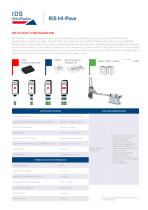
RIS Hi-Pave RIS HI-PAVE CONFIGURATION as well as the pavement. The number of antennas can be doubled to provide a wider survey path and hence require fewer scans to be performed and the system can also be used with a second control unit to provide a denser sampling rate to allow more accurate scans or scans to be performed at a higher speed. DAD Radar Control Unit SYSTEM SPECIFICATIONS RECOMMENDED LAPTOP SOFTWARE SPECIFICATIONS POWER CONSUMPTION MAX. ACQUISTION SPEED (@ STD. SCAN INTERVAL) Survey wheel and/or GPS • NUMBER OF CONTROL UNIT SCAN RATE PER CHANNEL: (@512 SAMPLES/SCAN) SCAN INTERVAL...
Open the catalog to page 3
IDS GeoRadar Srl Via Enrica Calabresi 24, 56121 Pisa (PI) Italy Tel. +39 050 3124 501 Fax +39 050 3124 205 www.idsgeoradar.com [email protected]
Open the catalog to page 4All BOVIAR SRL catalogs and technical brochures
 GPR C-THRUE
4 Pages
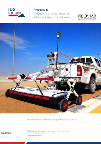 Stream X
4 Pages
 Stream C
4 Pages
 SRS SafeRailSystem
4 Pages
 OPERA DUO
4 Pages
 IBIS Guardian TrueVector
2 Pages
 FLAT JACK TESTING EQUIPMENT
6 Pages
 Quick Beton
2 Pages
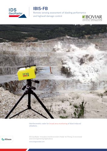 IBIS-FB
2 Pages
 Leica Pegasus:Stream
2 Pages
 RIS MF Hi-Mod
4 Pages
 RIS One & RIS Plus
4 Pages
 RIS HI-BRIGHT
4 Pages
 PIT-PILE INTEGRITY TEST
2 Pages
 Flat-jack testing Boviar
3 Pages
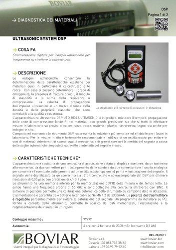 DSP ultrasonic system
2 Pages
 Digital crackmeter
1 Page


Archived catalogs
- Automation software solution
- Management software solution
- Analysis software solution
- Cloud-based software
- Monitoring software solution
- Interface software
- Visualization software solution
- Manual test equipment
- Portable test equipment
- Data acquisition unit
- High-performance software
- Data analysis software
- Digital test equipment
- Storage software
- Extensometer
- Compact test kit
- Strain gage
- SCADA software
- Web browser software
- Electrical resistance test kit