
- Catalogs
- BOVIAR SRL
- Leica Pegasus:Stream

Leica Pegasus:Stream

Leica Pegasus:Stream
Catalog excerpts

S^BOVIAR sistemi integrati per la diagnosticae il monitoraggio OI I I CIA I DIM kIBUlOk
Open the catalog to page 1
Leica PegasusiTwo Product Specifications Camera Sensor Number of cameras CCD size Pixel size Maximum frame rate Lens Coverage Typical operating time VAC input voltage AC input power (charge cycle) AC input frequency Time to full charge DC output Watt/Amp hours 40 km/h No wheel sensor, no dual antenna ZF 9012 3.2 km 8 2000x 2000 5.5 x 5.5 microns 8 fps x camera, equal to 256 M pixels x second (collected, compressed, stored) 8.0 mm focal, ruggedised; 2.7 mm focal, top 360° x 270° excluding rear down facing camera Please refer to scanner manufacturer datasheet. Control Unit Multi-core industrial...
Open the catalog to page 2All BOVIAR SRL catalogs and technical brochures
 GPR C-THRUE
4 Pages
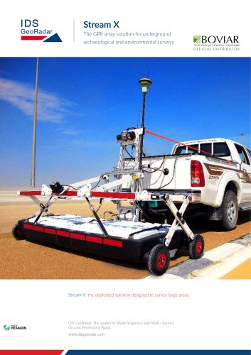 Stream X
4 Pages
 Stream C
4 Pages
 SRS SafeRailSystem
4 Pages
 OPERA DUO
4 Pages
 IBIS Guardian TrueVector
2 Pages
 RIS Hi-Pave
4 Pages
 FLAT JACK TESTING EQUIPMENT
6 Pages
 Quick Beton
2 Pages
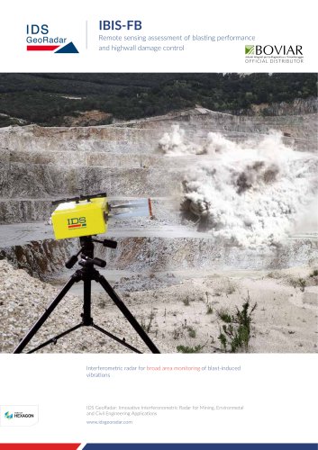 IBIS-FB
2 Pages
 RIS MF Hi-Mod
4 Pages
 RIS One & RIS Plus
4 Pages
 RIS HI-BRIGHT
4 Pages
 PIT-PILE INTEGRITY TEST
2 Pages
 Flat-jack testing Boviar
3 Pages
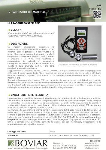 DSP ultrasonic system
2 Pages
 Digital crackmeter
1 Page


Archived catalogs
- Automation software solution
- Management software solution
- Analysis software solution
- Cloud-based software
- Monitoring software solution
- Interface software
- Visualization software solution
- Manual test equipment
- Portable test equipment
- Data acquisition unit
- High-performance software
- Data analysis software
- Digital test equipment
- Storage software
- Extensometer
- Compact test kit
- Strain gage
- SCADA software
- Web browser software
- Electrical resistance test kit